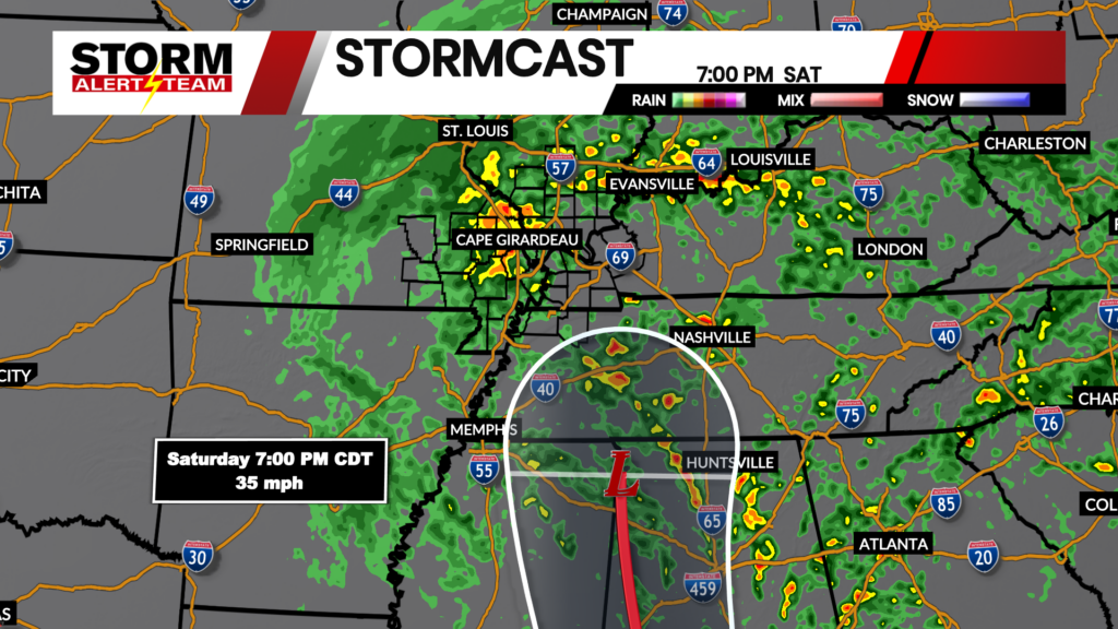
Severe weather potential: August 19-20, 2026
Severe Thunderstorm Watch:

A Severe Thunderstorm Watch is in place through 3:00AM Thursday morning. Strong to severe storms with hail, flooding, damaging wind, and isolated tornadoes are possible.
For the latest severe weather alerts, go HERE.
For up to the minute radar, go HERE.
For a live look from our weather cam network, go HERE.
And we would love to see video of any storm footage you may get (safely!). You can upload that using our Now Local News App HERE.
Storms are likely through the overnight. Above is what our StormCast weather model is saying for timing, duration, and location of the storm chances.

Heavy rain is possible overnight, so a Flood Watch is in place through early Thursday morning.
Forecast:

Mostly sunny to partly cloudy skies expected on Thursday with near normal temperatures.

Other than a small chance for storms Thursday and through the weekend, most of the days will be dry and mild.
Storm Alert Team Chief Meteorologist
Rusty Dawkins
We would love to see videos of any weather footage you may get (safely!). You can upload that using our Now Local News App HERE.