Storms Possible Thursday
There is a level 1-2 “Marginal” to “Slight Risk” for parts of our area Thursday. Storms are likely to form in the afternoon.
For the latest severe weather alerts, go HERE.
For up to the minute radar, go HERE.
For a live look from our weather cam network, go HERE.
And we would love to see video of any storm footage you may get (safely!). You can upload that using our Now Local News App HERE.

The best chance for any tornadoes will be the further northeast you go, but a quick spin up is possible as storms form in and near the green shaded area below.

Large hail is a possibility, too. The better chance will be further northeast.

Damaging wind will also be a possibility.

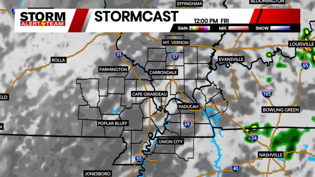
Below is what our StormCast weather model is showing for timing, location, and duration of the storm potential.
It will also be a very warm day, thus the storm chance. Highs will be 20+ degrees above average with a gusty south wind warming us up.

We cool off quite a bit after Thursday with a small rain chance Saturday.

Storm Alert Team Chief Meteorologist
Rusty Dawkins