Stormy Saturday, Sunny for Easter Sunday

Showers and thunderstorms look to highlight the start of the Easter weekend. Good news is for those with outdoor plans on Sunday, as clear skies look to make a return to the Heartland.
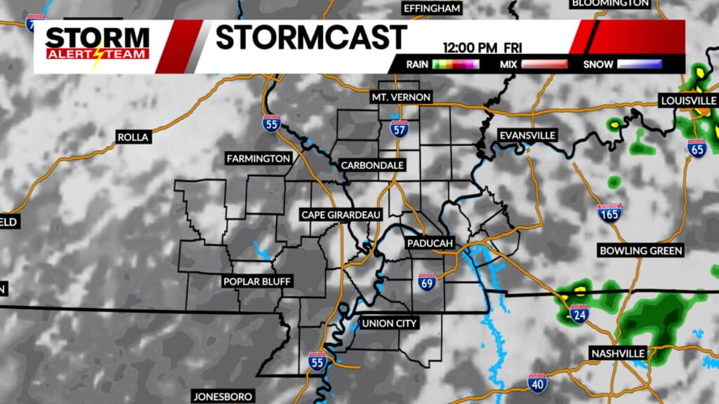
Chances for showers and thunderstorms are expected to increase through the overnight hours and will continue into the day on Saturday. Above is the latest run of StormCast showing a line of storms arriving shortly after midnight.

There is a minimal severe weather risk with this weekend’s storm chances. However, many of us will have an opportunity at 0.50-1.00″+ of rainfall.

Another mild evening is ahead for the viewing area as temperatures are only expected to fall into the upper 50s and lower 60s.

Showers and thunderstorms will arrive in Cape Girardeau between 12 and 2 a.m. on Saturday. Precipitation chances will continue through the rest of the overnight hours.

Highs on Saturday will range from the 60s to the 70s, with areas to the south and east seeing the warmer weather. Mostly cloudy skies and the chance for showers and thunderstorms will persist for most of the day.

On top of our storm chances, it will also be breezy in Cape on Saturday. Strong winds out of the south are expected with gusts up to 25 miles per hour.

Sunny skies return for Easter Sunday with afternoon temperatures in the lower 60s. Temperatures cool off for the start of the work week with highs in the 50s and 60s. We look to return to the 70s by Wednesday.
Storm Alert Team Meteorologist
Dominic Ferraro