Storms Late Wednesday, Another Round Possible Thursday Afternoon
Severe Weather Potential:

Strong to severe storms will be possible late Wednesday into Thursday night. The risk for severe weather increases the further north you are, with portions of southern Illinois under a Slight Risk (Level 2 out of 5) in place, meaning scattered severe storms are possible. All severe hazards are possible in the strongest storms.
- Latest Storm Alert Team Weather Alerts: Click Here
- For up-to-the-minute radar: Click Here
- Latest Watches/Warnings: Click Here
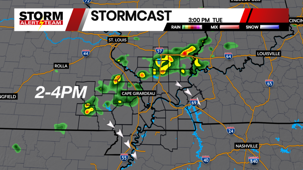
Above is the latest run of StormCast, showing several rounds of showers and storms moving through our area later tonight and throughout the day on Thursday.

Storm chances return by Thursday afternoon, with a Marginal Risk (Level 2 out of 5) of severe weather in place. An isolated severe storm capable of producing damaging winds will be possible.

The Mississippi River will crest early on Thursday afternoon and remain above flood stage until early Saturday morning. A Flood Warning is in place.
Forecast:

Low tonight will be fairly mild, with a strong south-southwesterly breeze continuing into the evening.

Overcast skies are expected in Cape Girardeau with the chance for storms through the overnight hours. Winds will be strong at first and diminish closer to sunrise.

Highs will be close to average on Thursday across the Heartland despite our chances for storms.

We may see a brief break in our storm chances around noon, but Thursday is shaping up to be a stormy day as winds shift throughout the afternoon.

High temperatures will be consistent over the next week, with several chances for showers and thunderstorms through the first half of next week. Unfortunately, it is looking like we will have a stormy Father’s Day for the Heartland.
Storm Alert Team Meteorologist
Dominic Ferraro