Storms Possible Thursday Evening, Chances Return Friday Afternoon
Severe Weather Potential:

Isolated strong-to-severe storms are possible overnight for the northern half of the viewing area. A Marginal Risk (Level 1 out of 5) of severe weather is in place on Thursday evening. Damaging winds and heavy rainfall will be the main concerns with storms during the overnight hours.
- Latest Storm Alert Team Weather Alerts: Click Here
- For up-to-the-minute radar: Click Here
- Latest Watches/Warnings: Click Here

Scattered severe storms are possible in an additional round of storms on Friday afternoon and into Friday evening. A Slight Risk (Level 2 out of 5) is in place for southern Illinois, as well as a handful of counties in southeast Missouri and western Kentucky. Large hail and a couple of tornadoes are possible in the strongest storms on Friday afternoon and evening.

With several rounds of rainfall anticipated over the next couple of days, a Flood Watch is in effect until 7:00 a.m. CDT on Saturday, June 27.
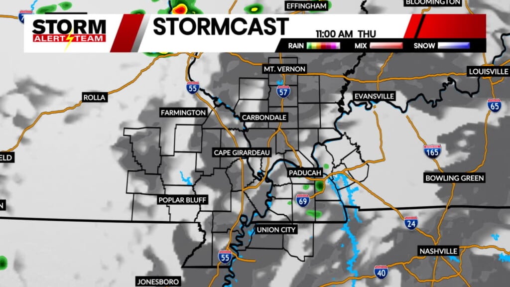
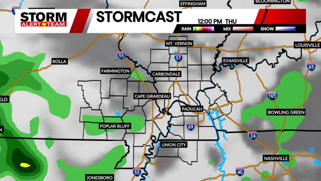
Above is a look at storm timing heading into the weekend, according to the latest run of StormCast.
Forecast:

Temperatures will be close to average on Thursday evening into early Friday morning, falling to the upper 60s to lower 70s.

While storms are likely for the Cape Girardeau area this evening, overcast skies should keep us out of the 60s through the overnight.

Highs to close out the work week will be near-average for late June, particularly for those in the southeastern corner of the viewing area.

Following multiple rounds of showers and storms, we trade our chances for precipitation in for hot and humid conditions for next week. Air temperatures are forecast to reach the 90s, with heat index values in the triple digits expected heading into the start of July.
Storm Alert Team Meteorologist
Dominic Ferraro