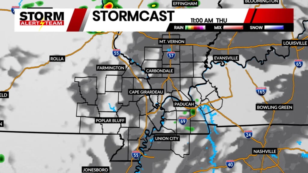
SEVERE Storms & FLOODING Through Sunday
Friday & Saturday afternoon & evening, scattered SEVERE thunderstorms will sweep across the region. Isolated tornadoes, damaging winds & flooding will be the main threats with these storms.
-Timing: 2pm-midnight Friday & 9am-7pm Saturday
- Latest Storm Alert Team Weather Alerts: Click Here
- For up-to-the-minute radar: Click Here
- Latest Watches/Warnings: Click Here

2-4pm: Isolated storms will develop in SE Missouri, carrying a TORNADO & DAMAGING wind threat. Storms will have a ENE motion through this evening.

Wind gusts up to 70+ mph will be possible with these storms Friday evening.

5-7pm: Storms turn linear, carrying a DAMAGAING WIND & isolated TORNADO threat near Poplar Bluff. Storms will move out by 9pm. Stay tuned for the latest!

Saturday SEVERE WX:
Additional thunderstorms are expected to develop Saturday morning and afternoon. A few storms may become strong to
severe during the afternoon. Damaging winds are the main threat on Saturday.

9-11am: A cluster of storms will occur across southern Illinois & western Kentucky Saturday morning. The flooding threat will begin to peak at this time as well as winds and small hail.

1-4pm: Storms will continue to re develop in the same areas, meaning flash flooding will be a concern. Winds & small hail will also continue.

Flooding & FLASH flooding will be a big concern through Saturday night! Some areas could see 4-6″ of rainfall! f you plan on camping or staying near the river, have ways to receive alerts as flash flood could occur within minutes.

A FLOOD WATCH is in effect through Sunday morning for all of us. Continuous Rounds of rain & storms will persist across the region Friday evening & especially Saturday afternoon/evening.

Meteorologist Houston Hall