Strong storms and a lot of rain
Scattered storms are going to be likely through Friday into very early Saturday morning. Heavy rain and severe weather will be possible as these storms move through.

While storms are likely Thursday night and much of the day Friday, the best chance for severe weather would be late afternoon and early evening (above). A line of storms with damaging wind and hail will be possible. With the amount of rain expected, any extensive wind that blows through may topple trees into power lines.

Because of the severe threat Friday, the Storm Prediction Center has our area in a Marginal (Green: Level 1), Slight (Yellow: Level 2), and Enhanced (Orange: Level 3) Risk for severe storms. The higher Level 4 Moderate Risk is further south of our area.

There is a Flood Watch in place for much of our area through Saturday morning.

Several inches of rain will be possible through early Saturday morning.

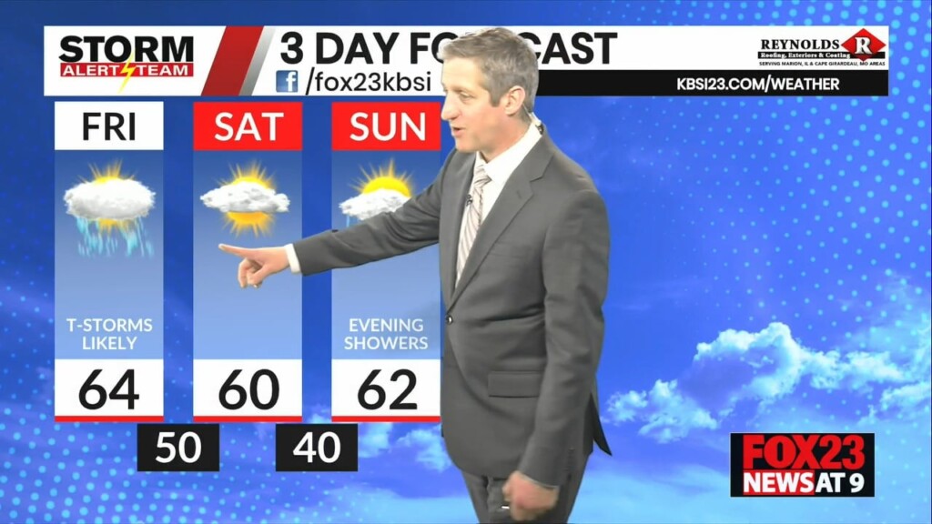
For Friday, storms are likely much of the day with temperatures in the 50s and 60s.
Storm Alert Team Chief Meteorologist
Rusty Dawkins


