High water impacts roads in Western Kentucky
KENTUCKY (KBSI)- High water is affecting numerous roads in KYTC District 1, with some roads being cleared as water recedes and others being added to the closure list.
The National Weather Service warns that additional flooding is possible as water continues to flow downstream into the area. Flooding can severely damage roads, leading to sinkholes, potholes, erosion of pavement and slides.
In District 1, a sinkhole has formed along KY 1591 in Carlisle County, closing the road at the 1.5-mile marker.
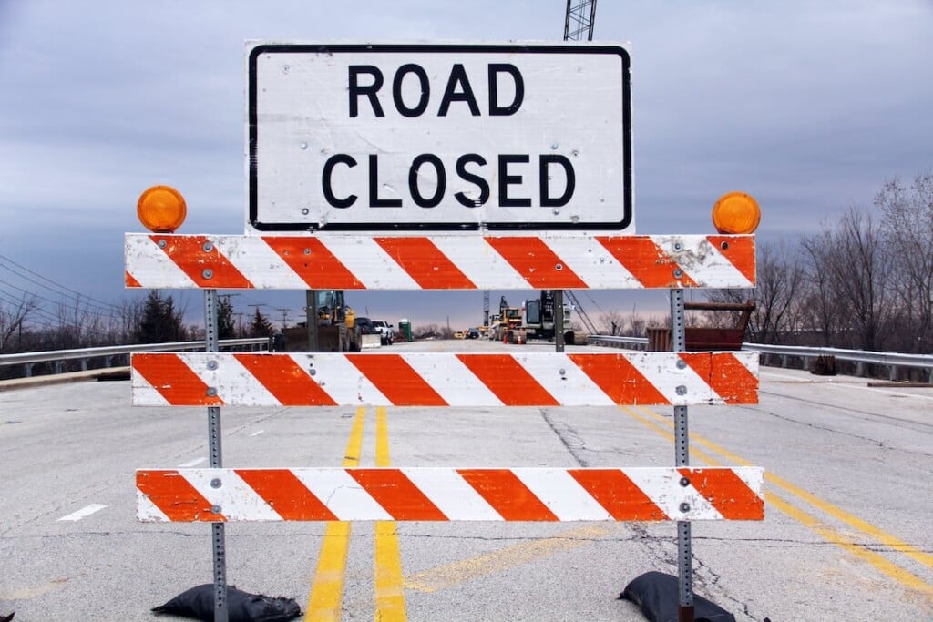
Motorists are advised to avoid travel if possible. If travel is necessary, check road conditions, stay alert and drive with caution. Never drive through a flooded roadway, and never move or drive around barricades or cones, as they are placed for safety.
A list of impacted roads in District 1 is available below:
[Ballard, Calloway, Carlisle, Crittenden, Fulton, Graves, Hickman, Livingston, Lyon, Marshall, McCracken and Trigg counties road closures and openings are listed below}
—-
Ballard County
KY 310/Turner Landing Road is open with high water at the 1 MM. This is between KY 358 and U.S. 60.
KY 358 is open with high water between the 6-9 MM in the city of LaCenter.
KY 1837/Blandville Road is open with high water between the 8-9 MM.
KY 2532/County Line Road is open with high water at the 4 MM west of the Ballard-McCracken County Line.
KY 62 is open with high water between the 0-2 MM in the community of Lovelaceville.
KY 802/ La Center Road is open with high water between the 9-10 MM at the intersection of KY 1290.
KY 121/Mayfield Road is open with high water between the 1-4 MM, south of Blandville near the Ballard-Carlisle County Line.
Calloway County
KY 299/Butterworth Road is open with high water at the 0.7 MM. This is just north of KY 94 W.
KY 464/Almo Road is closed with high water at the 13 MM at Clark’s River.
KY 121 S is OPEN at the 3.6 MM. –
Carlisle County
KY 1820 is closed with high water between the 1-3 MM (Wilson Creek). This starts near the intersection of KY 1628.
KY 1628 is closed with high water between the 3-4 MM (Wilson Creek). This is between KY 1820 and U.S. 62.
U.S. 62 is closed with high water at the 4 MM near the West Fork Creek Bottoms.
U.S. 62 is OPEN between the 9-11 MM. –
KY 80 W is OPEN between the 2-3 MM in the city of Arlington. –
KY 1820 is closed with high water at the 6 MM, east of U.S. 62.
KY 1591 is closed at the 1.5 MM due to a sinkhole. This is between KY 877 and Cherry Road. – NEW
Crittenden County
KY 902 is closed with high water at the 5 MM at Dry Fork Ridge.
KY 855 is closed with high water at the 5 MM near the intersection of Frances Road.
Fulton County
KY 94 (Lower Bottoms) is closed with high water between 9.1 MM (Parker Lane) to 10.9 MM (1099 Bypass).
KY 94 (Willingham Bottoms) is open between 23.44 MM (KY 781) and 25.5 MM (Jeffress Road). –
KY 1128 is open at the 3.85 MM (Mud Creek). –
KY 94 is closed due to slide at the 12.0 MM from Kentucky Street to Cumberland Street in downtown Hickman city limits.
Graves County
KY 1283 is closed with high water between the 2.9-3.2 MM from Frazier Road to KY 58.
U.S. 45 S is closed with high water between the 0-2 MM in the Water Valley Community.
KY 58 W is closed with high water between the 0-1 MM just east of the Hickman-Graves County Line near the KY 1283 intersection.
KY 408 is closed with high water between the 9.2-10 MM. This is between Ethel Road and McCracken County Road, approx. 1 mile east of U.S. 45.
Hickman County
KY 123 is closed with high water between the 14-16 MM in the Hailwell Corner area.
KY 1283 is closed with high water between the 1-2 MM near the Hickman-Graves County Line.
U.S. 51 S (Greenway Bottoms) is open between the 2-3 MM near the Hickman-Fulton County Line. This is near KY 1529. –
U.S. 51 S is closed with high water between the 4-5 MM.
KY 58 W is open between the 7 and 8 MM in the Cane Creek area. This is at the intersection of 1475. –
U.S. 51 N is OPEN between the 9-10 MM. This is between KY 1728 and KY 1540. –
U.S. 51 N is OPEN between the 11-13 MM, near the intersection of KY 1301. –
KY 307 N (Beulah Bottoms) is closed with high water between the 13-14 MM. This is between KY 703 and KY 1748.
KY 307 is OPEN between the 4-6 MM. –
KY 2206 is OPEN between the 0-1 MM. This is between KY 703 E and Rebiel Road. –
KY 1529 is closed with high water between the 4-6 MM, intersecting at U.S. 51 S. This is between KY 1825 and KY 2209.
KY 80 is closed with high water between the 2-3 MM. This is between KY 123 and Mountjoy Road, along KY 80 between Columbus and Arlington.
KY 3061 is closed from the 0-2.366 MM due to pipe failure.
KY 239 is closed with high water between the 0.518-3.75 MM.
U.S. 51 N is closed with high water between the 14-15 MM near the Hickman-Carlisle County Line. – NEW
Livingston County
KY 60 is open with high water between the 11-12 MM.
KY 917/Stringtown Road is open with high water between the 1-2 MM north of U.S 62 near the Livingston-Lyon County Line.
KY 723 is open with high water between the 4-5 MM.
KY 70 is open with high water between the 3-4 MM.
Lyon County
KY 1943 is closed with high water between the 3-4 MM near Skinframe Creek Bridge.
KY 293 is open with high water near the 2.5 MM at the intersection of KY 730.
KY 903 is open with high water at the 1.2 MM. This is between KY 730 E and KY 1272.
KY 3305 is open with high water between 0-2 MM. This is between KY 93 and U.S. 62 E.
KY 819 is closed with high water between the 2-3 MM.
Marshall County
KY 1462/Benton-Birmingham Road is closed with high water between 0-1.3 MM. This is between KY 408/E. 12th Street and KY 1477/Benton Briensburg Road.
KY 1311/Slickback Road is closed with high water between the 3-5MM.
KY 1949/Wadesboro Road is closed with high water at the 7.4mm at the I-69 Tunnel.
KY 402/Aurora Highway is closed with high water between the 8.9 MM at KY 905/Commerce Street in Hardin to the 10.1 MM at KY 962.
U.S. 641/Main Street in Benton is closed with high water from 9.2 to 9.7 MM, between Benton Ford and the Pizza Hut.
McCracken County
KY 1255/Bonds Road is closed with high water between the 0.0 MM (KY 348/Hardmoney Road) and the 2.3 MM (KY 450/Oaks).
KY 1014/Houser Road is open at 3.7 MM at the intersection of KY 994/Old Mayfield Road. –
KY 339 is closed with high water from the 0-2 MM.
KY 787 is closed with high water from the 0-1.3 MM (Bypass Road).
KY 305 is open between the 5.2 MM/KY 725 and the 6.5 MM/KY 358.-
KY 1565 is open between the 4.5-6.3 MM. This is between KY 358 and U.S. 60. –
KY 348 closed with high water between the 7.2 MM/Graves-McCracken County Line to the 5.6 MM/McNeil Road.
KY 131 is closed with high water from 1.2 MM/Bypass Road over the McCracken-Graves County Line to 12.9 MM/KY 348 in Symsonia.
KY 1255/Bonds Road is closed with high water at the intersection with KY 450/Oaks at the 2.3 MM.
KY 450/Oaks Road is closed with high water from 3 MM/Shemwell Road to the 1.2 MM/KY 348 intersection over the McCracken-Graves County Line.
Trigg County
KY 1507/Barefield Road is closed with high water at the 1.0 MM. This is between U.S. 68/Hopkinsville Road and KY 958/Montgomery Church Road.
KY 128 is closed with high water between the 0.0 MM at U.S. 62 and the 1.0 MM, just past the intersection of Dunkerson Road.
KY 525/New Hope Road is closed with high water at the 4 MM. This is near the intersection of Prather Road.
KY 124/Cerulean Road is closed with high water between the 9-10 MM near the Trigg-Christian County Line.
KY 1253/Hardy Road is closed with high water between the 3-5 MM.
KY 126 is closed with high water at the 4 MM.
KY 272 is closed with high water between the 6-7 MM.
KY 139 is closed with high water between the 16-17 MM, near U.S. 68x.
KY 276 is closed with high water between the 13-14 MM.


