Near Average on Thursday, Weekend Winter Storm Looms

Business as usual across the Heartland, for now, with overnight temperatures slowly dropping below freezing.
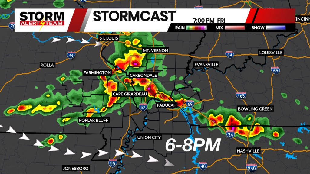
Short-term runs of StormCast continue to keep us clear through the day on Thursday and into Friday.
That story starts to change as we look at the long-term forecast. Above is one run of StormCast showing a fine line between snow and wintry mix across the Heartland.

A Winter Storm Watch is in effect until 12 p.m. CST on Sunday, January 25. There is a 60-90% chance of seeing at least four inches of snow and 50-80% of seeing at least six inches of snow across our viewing area, according to the National Weather Service in Paducah, Kentucky. The highest of those chances coming in the southern reaches of our viewing area.

Bringing us back to the present, low temperatures tonight will drop to the mid 20s, right about where we should be this time of year.

Near average for Thursday with most of us seeing highs in the lower to middle 40s.

A little chilly to start the day off in Cape, with temperatures sneaking up to the lower 40s during the afternoon.

Snow chances continue through the weekend, coming to a close on Sunday morning. Temperatures remain below freezing going into the start of the work week, which will allow any snowfall from this weekend to linger.
Storm Alert Team Meteorologist
Dominic Ferraro