Warmer, Sunny to Wrap up the Weekend

Plenty of sunshine to end the weekend as temperatures warm up to the lower 70s during the afternoon.
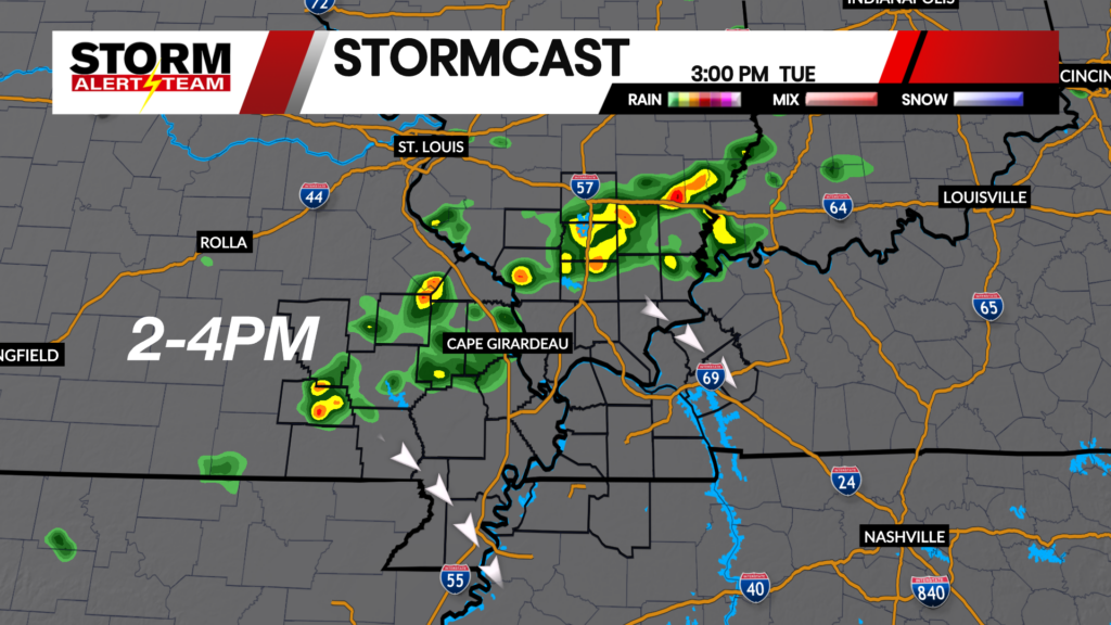
The latest runs of StormCast keep most of the viewing area clear for the rest of the weekend. Our northern counties will have the best chance at a shower and possibly a thunderstorm heading into the start of the work week.

Lows early on Sunday morning could be a bit chilly, with temperatures falling to the upper 30s and lower 40s.

Mostly clear skies are expected overnight in Cape Girardeau, though it will be best to have a jacket for any late Saturday night or early Sunday morning plans.

Highs on Sunday afternoon will be close to average for early May with plenty of sunshine across the viewing area.

Sunny and at times breezy in Cape throughout Sunday afternoon. Even with the wind, it should be a pleasant day to spend outside.

We are still monitoring the potential for minor flooding along the Mississippi River. A Flood Warning is in place until Wednesday morning, May 6.

Monday looks to be the warmest day of the week ahead with highs reaching the lower 80s. Chances of showers and thunderstorms are possible during the first half of the week, with the best chances to our north. Following the chances for precipitation, highs drop to the 60s before recovering to the 70s heading into Mother’s Day weekend.
Storm Alert Team Meteorologist
Dominic Ferraro