Storm Chances Through Thursday
Tuesday afternoon looks to be warmer & breezier! High temperatures reaching the mid to upper 80s under sunny skies. Tuesday evening looks just fine for any outdoor activities.

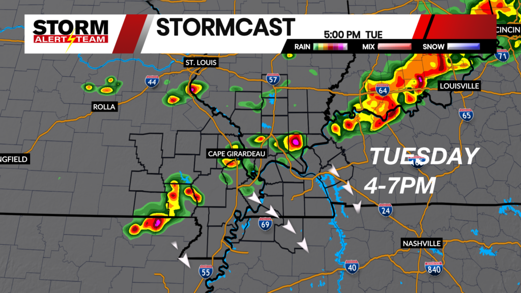
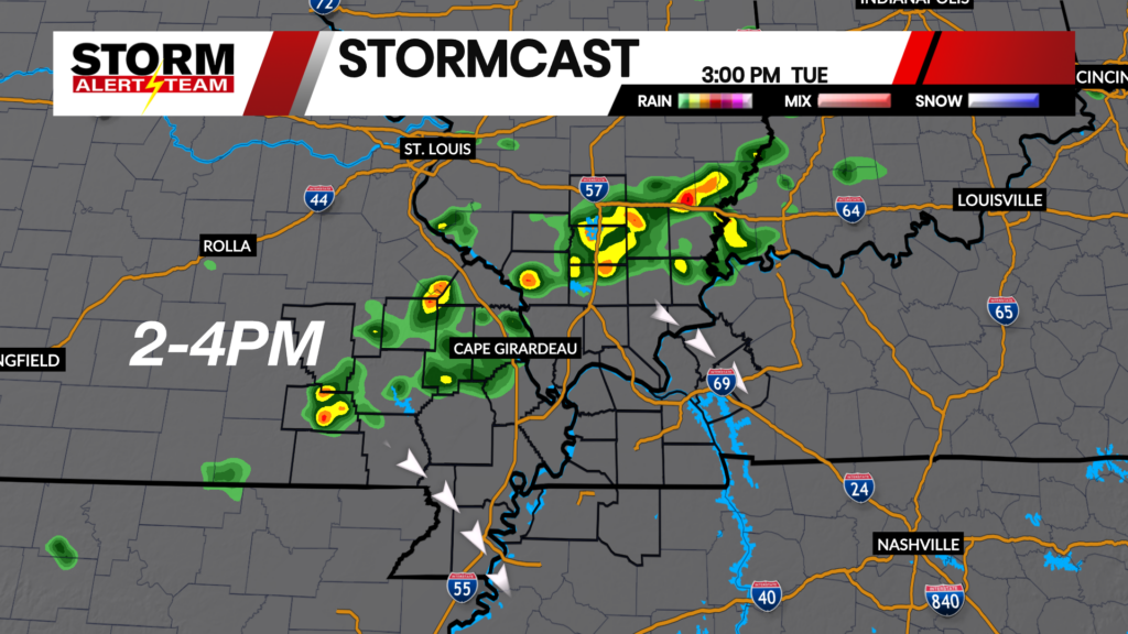
2-5pm: A few non-severe storms will move NW->SE Tuesday afternoon across Illinois & Missouri. A few Storms will be capable of gusty winds & small hail.

NW winds will be breezy for the rest of your Tuesday! Gusts up to 15-20+ mph.

Wednesday Severe Weather
A line of storms is expected to move into our northern counties Wednesday evening before weakening farther south. These storms will be capable of damaging winds, hail and a brief tornado threat the farther north you are.

Late Wednesday, a broken line of storms will drift south into southern Illinois, SE Missouri & western Kentucky. Some gusty winds and hail will likely be the main concerns.

Thursday Severe Weather
Thursday afternoon looks to be the better potential for severe storms across the region. The strongest storms will occur across N Tennessee & western Kentucky. Hail & winds will be the main concerns.

Thursday afternoon brings strong to severe storms mainly south & east of Cape Girardeau.

Rain accumulations through Thursday night look best over SE Missouri & parts of western Kentucky. Flooding will be a concern through Thursday.

Meteorologist Houston Hall