SEVERE Storm Threat Wednesday
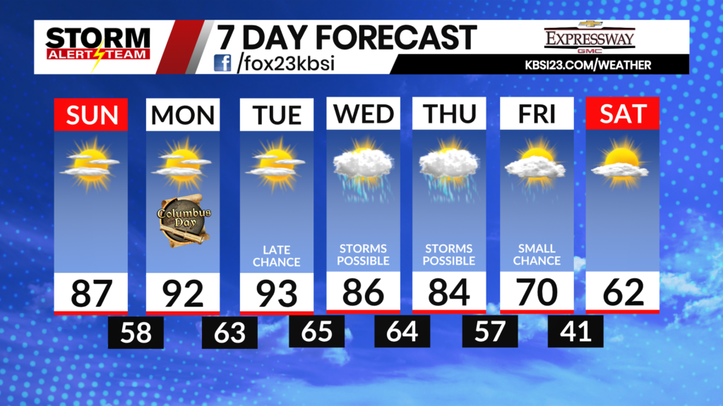
The main threats Wednesday morning into Thursday morning will be STRONG WINDS up to 75+ mph, Hail up to half dollars or greater, isolated tornado threat and flooding. TIMING: 5AM-10AM; 5PM Wednesday-4AM Thursday
- Latest Storm Alert Team Weather Alerts: Click Here
- For up-to-the-minute radar: Click Here
- Latest Watches/Warnings: Click Here

5-8am: A stormy morning commute will be likely across the area. Strong to severe storms will move W->E, carrying gusty winds, heavy rain & even a brief spin up.

7-10pm: After the afternoon lull, storms will re-develop across SE Missouri carrying all hazards including a few brief tornadoes.

A few brief tornadoes will be possible Wednesday evening as storms move W->E.

11pm WED-3am THURS: Storms will turn linear, making for a damaging wind threat from Kennet, MO->Evansville. Best chance for storms late Wednesday into Thursday will stay across Illinois, Kentucky & Tennessee. Stay tuned for more!

Meteorologist Houston Hall