Sunny, Pleasant Start to the Work Week

Another cooler and pleasant day ahead for the start of the work week in the Heartland. Mostly sunny skies through the afternoon with temperatures just below average for late August.
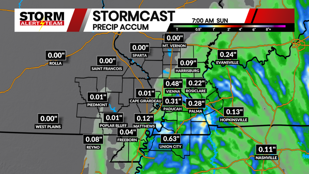
The latest run of StormCast keeps any chances for showers and thunderstorms clear of the viewing area to start the work week. Patchy areas of fog may develop during the overnight hours.

We will start Monday with temperatures down in the lower to middle 60s across the viewing area. Cloudy skies will gradually clear throughout the morning.

Areas of patchy fog remain in the forecast for Cape Girardeau through the overnight hours. Fog and cloud cover will dissipate after sunrise.

Most of us will see high temperatures a handful of degrees below average on Monday afternoon. Monday should be pleasant for any afternoon or evening plans outdoors, with temperatures in the lower to middle 80s.

Morning fog will likely be the worst of our issues in Cape, with mostly sunny skies returning by the afternoon.

We tack on a couple of degrees to our afternoon highs on Tuesday, though humidity is expected to remain manageable.

Confidence in showers and thunderstorms has decreased heading into the start of the work week, though Wednesday looks to be our best chance of any day this week. Temperatures and humidity return to typical late-summer levels by the back half of the work week.
Storm Alert Team Meteorologist
Dominic Ferraro