Severe weather potential: Dec 28, 2025
A TORNADO WATCH is in place for parts of SE Missouri, southern Illinois, western Kentucky, and SE Indiana through 8:00pm, Sunday, Dec 28, 2025.
For up to the minute radar, go HERE.
For the latest warnings, go HERE.
For a live look at our Nebraska Weather Cams, go HERE.
And we would love to see video of any storm footage you may get (safely!). You can upload that using our Now Local News App HERE.
The main threat for any tornadoes will be in the green shaded area below. The further north you go in this area, the higher the risk.
Damaging wind will be the main concern for all of us this late afternoon and evening. Especially in the yellow shaded area.
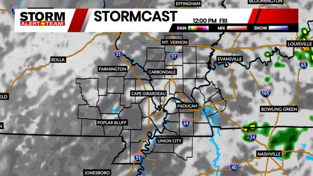
Below is what our StormCast weather model is showing for timing, location, and duration of the storm potential.
Storm Alert Team Chief Meteorologist
Rusty Dawkins


