Major Weekend Winter Storm, Snow and Ice Accumulations
Winter Weather Potential:
A WINTER STORM WARNING is in effect starting 1:00am Saturday- 6:00pm Sunday. The peak of the snow will begin Saturday afternoon and continue through Sunday morning.
- Between 7 to 13 inches of snow is forecast in places with a 85% chance of exceeding winter storm warning criteria (4 inches) across the entire quad-state.
- Probabilities of a foot or more accumulation are above 60% from roughly Poplar Bluff northeastward to Evansville.
- A mix of snow, sleet, and freezing rain over far southeast Missouri and western Kentucky near the Tennessee border may result in a sharp gradient with reduced snowfall totals. There is a 40-50% chance ice accretion exceeds a tenth of an inch.
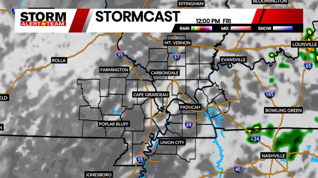
Short-term runs of StormCast show snow chances holding off until late Friday and early Saturday morning.
Taking a step back, our long-term runs of StormCast show the transition zone between snow, sleet, and rain across the Heartland.
Here is what our in-house model has for snow accumulation totals. Sharp drop-offs in snow totals will be due to the transition between sleet and snow.
Not only will we see widespread snow and ice impacts, but it will be frigid with wind chills up to 10 degrees below zero. A Cold Weather Advisory will be in place Friday evening through Sunday evening.
Forecast:
Temperatures remain on the colder side after this weekend’s winter storm. Temperatures will likely stay cold until any snowfall from this weekend melts. Good news is we should see some more sunshine by the start of the work week.
Storm Alert Team Meteorologist
Dominic Ferraro


