Dry Through Friday Before Rain Increases
A WARMER Wednesday across the south! High temperatures reaching the mid to upper 80s under sunny skies & light winds. Humidity & warmth will rise through Saturday.

SW winds will be light for much of us. Gusts could reach 15+ mph through your Wednesday afternoon.

Thursday morning, temperatures will feel a bit warmer! Most of us will wake up to temperatures in the 50s under clear skies & light north winds.

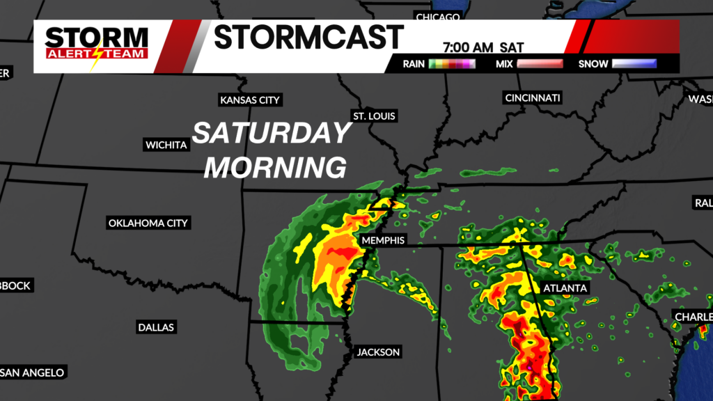
We will watch the Gulf for Hurricane placement over this week. This could bring decent rainfall Saturday-Sunday.

The National Hurricane Center has the system as a LOW by time it reaches our area late Saturday into Sunday. Winds and flooding will likely be the main concerns for areas east.

Rainfall potential through Sunday looks the best from Cape G & eastward. Rain totals could exceed 2-3″ across Kentucky, Illinois & Tenneesee.

Meteorologist Houston Hall