Clearing and warming back up
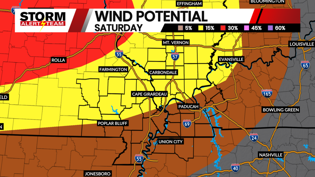
Thanks to a front moving through Saturday morning, rain showers were seen throughout the area with some impressive totals. Nearing Paducah and in western Kentucky, some rainfall totals from reports by 7 a.m. were over 2″. Closer to home throughout Cape, totals ranged from next to nothing to almost a quarter of an inch.

Compared to Saturday, we’ll end this weekend on a slightly warmer not closer to normal. Highs will be nearing the upper 70s by the afternoon and early evening with manageable winds around 10 mph.

Beyond Sunday, temperatures will continue to increase toward the 80s by Monday. Normal for this time of year is the upper 70s, so the streak will turn to above-normal temperatures for a majority of the upcoming week as we start to close out the month of May.

Most of the energy was swept away with the passing cold front into Saturday, so it’ll be a few days before the ingredients come back together for rain chances by Tuesday and Wednesday.

Then, the start of Memorial Day weekend looks good for now! Sunny and warm with two thumbs up!
FOX 23 Storm Alert Team
Meteorologist Jessica Blum