Heavy rain recently; not done yet through the upcoming weekend
Areas nearby have recorded a lot of rain lately, with flash floods occurring nearby both on Thursday and Friday. While the gauges at the airports do not totally reflect some of the heaviest rain, they still show that a lot of rain fell in SEMO and toward northwestern Tennessee through the past couple of days.
Rainfall recorded in Cape over the last two days came in around 3.00″, including a broken for August 3rd. For that day, the new record rainfall amount is 1.93″. The old record was 1.65″ back in 1975.

For only being four days into the new month, we’ve also seen a lot of rain. So far for August, Cape Girardeau has seen well over 4″ of rain, when averages tell us we should be closer to just a half inch.

The rain chances have yet to cease, too, heading into the weekend. A system within northern Missouri will try to stay together through our area. With a lot of water in the atmosphere to work with, storms through this weekend could cause additional flooding.

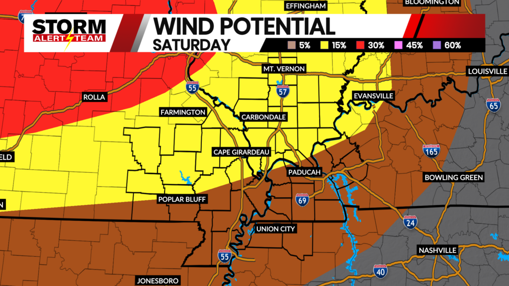
The best chance for rain and severe weather will come by Sunday. A cold front will sweep through our area, driving storm development with all modes of severe weather possible. A Slight (Level 2 of 5) risk includes much of SEMO, southern Illinois, and Kentucky for Sunday.

Heat indices could be over 100° as we keep the humid airmass around through the first half of the weekend. With more standing water possible with showers and thunderstorms on Sunday, the Skeeter Meter jumps to “Ugh”. But after the cold front, we’ll see less humidity at least for the first couple days of next week.

Monday and Tuesday should be fairly quiet days, with small chances reintroduced to the forecast by the later half of the week.

Meteorologist Jessica Blum
FOX 23 Storm Alert Team