Scattered Severe Storms Saturday Night Through Sunday

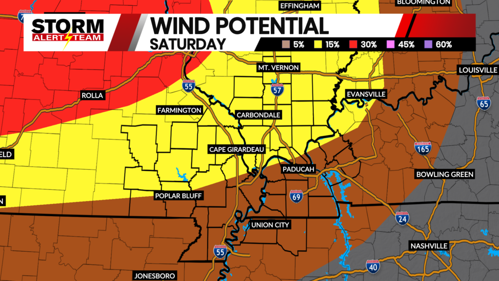
Scattered severe storms are possible across the viewing area late Saturday and throughout the day on Sunday. A Slight Risk (Level 2 out of 5) of severe weather is in place, with an isolated tornado, quarter-sized hail and wind gusts up to 60 miles per hour possible in the strongest storms. Make sure you have ways to be alerted to severe weather through the overnight hours.
- Latest Storm Alert Team Weather Alerts: Click Here
- For up-to-the-minute radar: Click Here
- Latest Watches/Warnings: Click Here
Above is the latest run of StormCast, showing the timing for strong to potentially severe storms through the day on Sunday.

Temperatures tonight will be close to seasonal, dropping to the upper 60s and lower 70s by Sunday morning.

Storms remain possible for the overnight hours in the Cape Girardeau area, especially closer to sunrise.

High temperatures will be kept at bay across the Heartland thanks to morning/early afternoon chances for storms. Many of us will see the upper 70s to lower 80s for afternoon temperatures.

Keep the raincoat and umbrella handy for any Sunday plans in Cape, with overcast skies taking over by dinner time.

Sunshine returns as temperatures slowly warm up for the start of the work week. Highs will return closer to average by Wednesday and Thursday, joined by another chance of showers and thunderstorms.
Storm Alert Team Meteorologist
Dominic Ferraro