Another warm day, followed by a weekend pattern change
Storms marched across portions of the FOX 23 coverage area on Thursday. Only our northern regions saw the storms, with many locations to the south remaining dry. Cape Girardeau, Carbondale, Marion, and Harrisburg were some of the locations that remained dry. However, for those who saw storms, they packed a punch as they passed by!
Any rain pushes out of the area late Thursday, setting us up for a dry morning commute on Friday. We should see the sun to start the day, with low temperatures in the lower-70s for most.

We’re going to hold onto the warm pattern on Friday. High temperatures will reach the upper-80s to low-90s once again. The humidity will also accompany the warm air.

You’ll likely notice the wind on Friday. Southerly winds gusting in the ballpark of 40-45 mph will be a possibility.

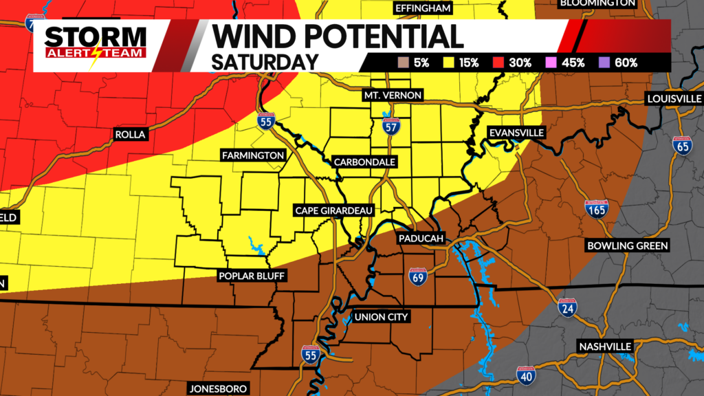
Saturday appears to be another warm afternoon. However, Saturday’s temperature forecast is very sensitive to the timing of a cold front. A cold front passes sometime on Saturday afternoon/evening. This brings the chance for showers and storms on Saturday.
In addition to the storm chance, the cold front will also deliver a cool push of air for the second half of the weekend. We’re cooler on Sunday, with highs in the 70s.

-Meteorologist Malcolm Byron