Severe weather continues for one more day
Temperatures will gradually drop through Friday and it will continue to storm with heavy rain and strong winds during the morning and afternoon hours. Saturday and Sunday will see mostly sunny skies. Temperatures will slowly climb into the upper 50s and lower 60s as we head into our next work week.

With the heavy precipitation continuing, a Flood Watch has been issued throughout Friday morning for most of the KBSI viewing area.

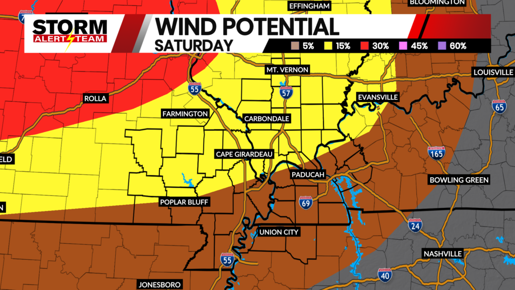
Tomorrow’s storm is expected to bring strong winds along with it. A Wind Advisory is in place for most of the KBSI viewing area. There is also a High Wind Advisory for the eastern parts of the Missouri bootheel as well as northwestern Tennessee and parts of Kentucky.

Tonight, with strong winds and heavy rain a Marginal Risk is in place for parts of southeastern Missouri, southern Illinois, western Kentucky and parts of Tennessee. A Slight Risk is in affect for parts of southern Missouri including the bootheel and northwestern Tennessee.

Friday, the severe weather risk shifts, the Marginal Risk is in affect for parts of southeastern Missouri and southern Illinois. There is a Slight Risk for parts of southeastern Missouri, parts of southern Illinois, Kentucky and Tennessee. An Enhanced Risk is centered in Kentucky extending into central Tennessee.

As of tonight and tomorrow, the threat assessment for wind and hail is a level 3, it is possible and expected. The tornado threat is a level one it is less likely to occur, however there is potential. Lastly, flooding is the biggest threat at level 5 with all the rain we have been seeing and will continue to see until Friday afternoon.